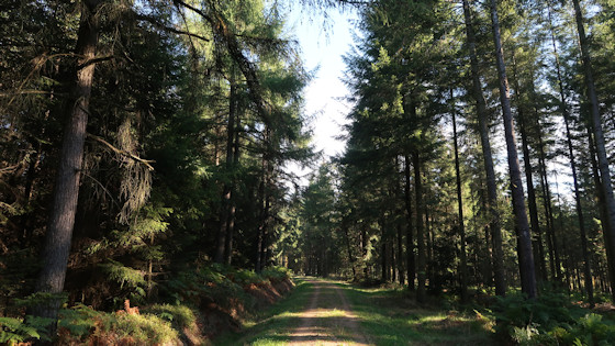
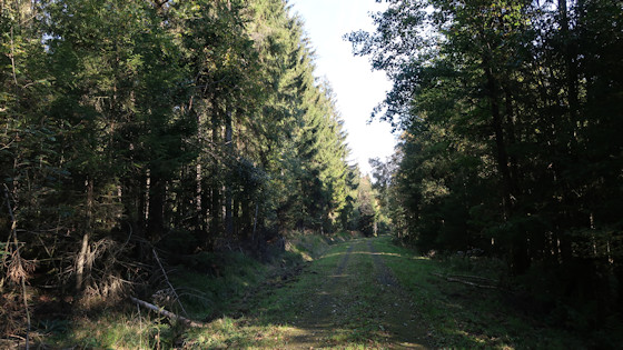
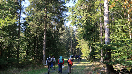
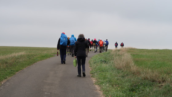
We covered the distance from Kronenburg to Ormont by bus. From Ormont, the path heads south into Rhineland-Palatinate. The Jakobsweg in the Eifel leads us into hilly terrain and it is constantly uphill and downhill. We pass Ormont - Westwall - Füllert - Glockersvenn - Forsthaus - Schneifel - Schneifelhöhenweg - Kirchenberg - Hallerich - Gondenbrett - Eifel Blicke - Tafel - Kreuzkapelle - Kalvarienberg-Kapelle - Johannismarkt and Prüm. On the Schneifel Heights Trail we reach a culmination point of almost 700 metres.
Map and altitude profile see: Jakobsweg: Köln-Trier

Start in Ormont
Pictures from the Way of St. James
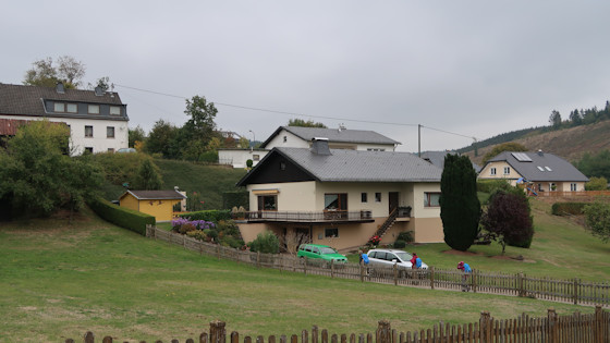
We are approaching Gondenbrett and ...
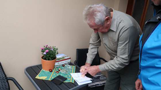
... and here we receive a stamp into our pilgrim pass.
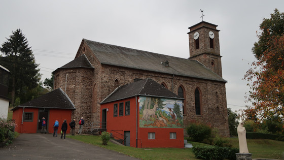
The church of St. Dionysius in Gondenbrett. The church was built in the 19th century in the architectural style of classicism. The building is a single-nave hall with a coffered ceiling, a slender bell tower in front and a three-sided chancel.
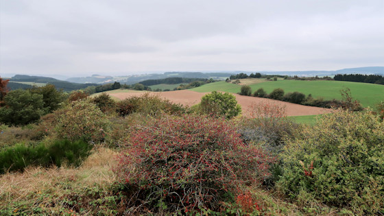
The Eifel view from a height of 700m
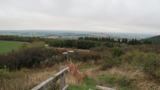
Eifel view
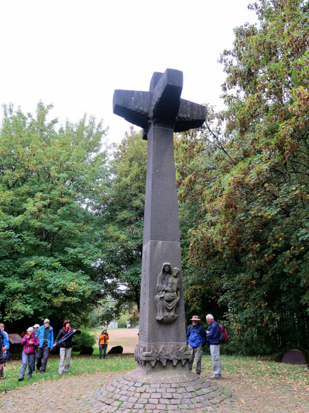
In the Prüm explosion disaster, an ammunition depot detonated in the Kalvarienberg northwest of Prüm in the Eifel on 15 July 1949. The cause of the explosion, which severely destroyed the town and killed 12 people, could never be clarified. The explosion crater, which is still visible today, is one of the largest caused by man. On the Calvary, a memorial cross commemorates the victims of the disaster.
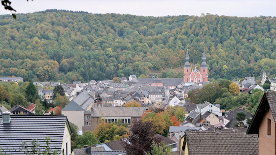
View of Prüm
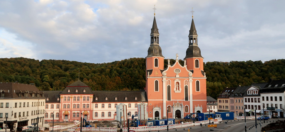
The Basilica of Saint Salvator on Prüm's main square is part of a former monastery.
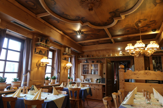
The table is beautifully set for our dinner in the restaurant "zur alten Abtei" (the old abbey).

