From Prüm (420m) the Way of St James leads steeply uphill (530m) and gently downhill again to Rommersheim (470m).
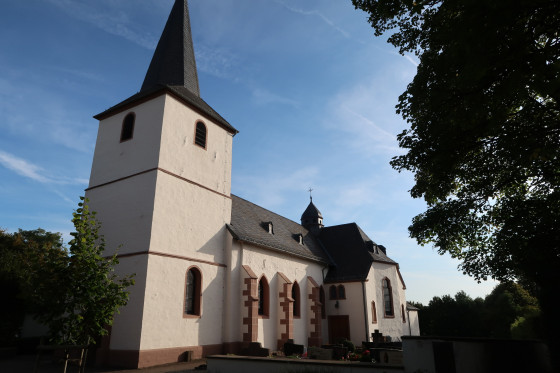
Church of St. Maximin in Rommersheim. After a predecessor building mentioned in 1063, the oldest parts of today's Rommersheim church date back to 1498 and were built in the late Gothic architectural style. In 1816, the three-storey bell tower was added to the hall church to replace an older one. At the beginning of the 20th century, the three-bay hall church with rectangular choir became too small for the congregation. As a result, a transept was planned for the existing church. From 1927 to 1929, the new transept was built. The late Gothic rectangular choir was removed and rebuilt true to the original on the east side of the transept.
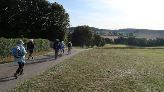
"Auf der Schlack" (On the slag) is the name of the path in Rommersheim.
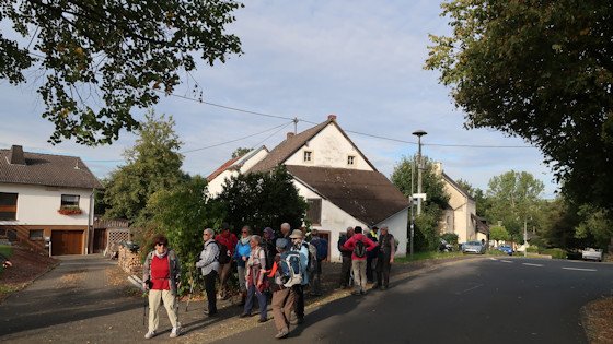
Where do we go from here?
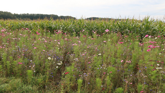
colourful meadow flowers
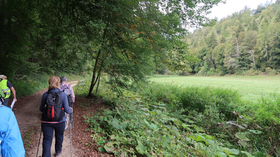
It goes through the forest to Schönecken.
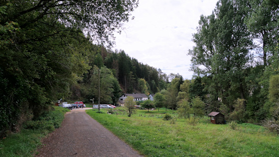
first houses of Schönecken
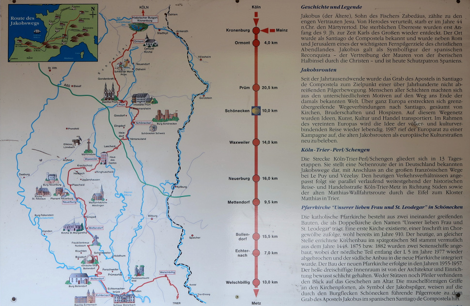
Way of St. James plaque at the entrance to Schönecken - click to enlarge!
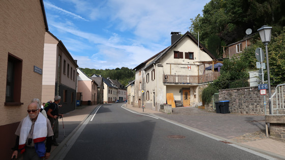
We cross Schönecken.

In Schönecken we first walk along the stream and then on the main road.
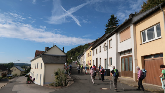
After Schönecken, the trail climbs again.
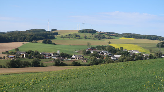
In the Eifel region there are wind turbines on almost every mountain range.
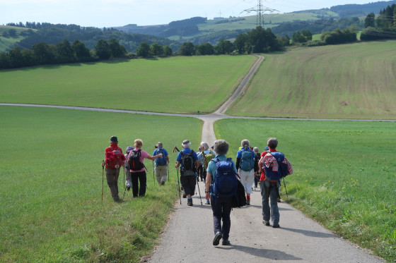
Downhill and uphill, ...
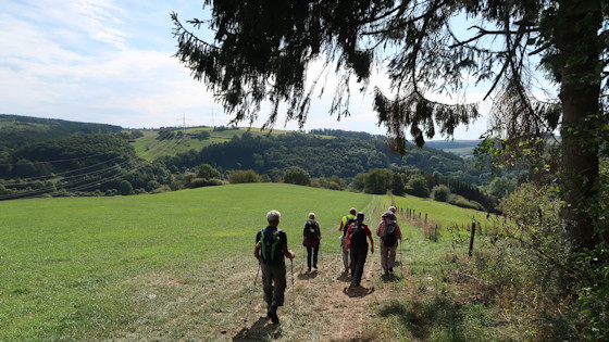
... over field and meadow paths ...
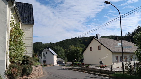
we reach Nimsreuland, where the path turns sharply to the right.
Waxweiler is marked on the signpost with 11km (6.84 miles).
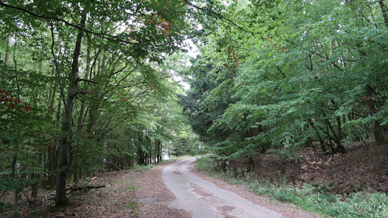
A forest road
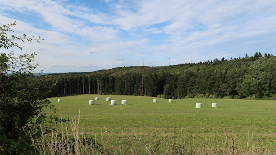
The crop has already been harvested.
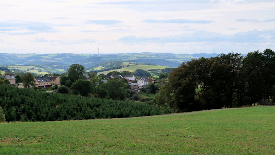
View
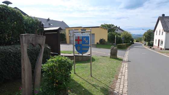
We cross the village of Lascheid ...
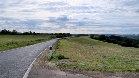
... and hike along the road to Waxweiler.
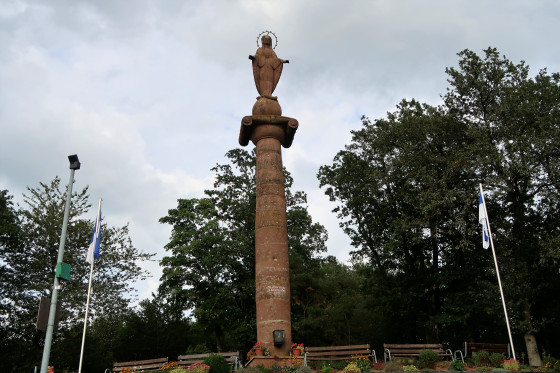
Waxweiler Marian Column
In the unbearable hardship of the Battle of the Bulge in 1944/45, the inhabitants of Waxweiler vowed to build a monument to Our Lady if they came out of this time more or less in one piece. As early as 1948, the column was erected and over time developed into a place of pilgrimage.

