Early in the morning we leave our hostel, the Hotel Moschenross, and first walk up Rue Kléber.
After a short stretch of forest, we come to the municipality of Leimbach in the Ballons des Vosges Regional Nature Park at the foot of the Vosges Mountains.
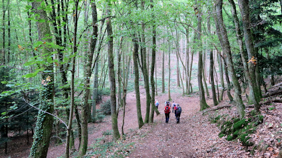
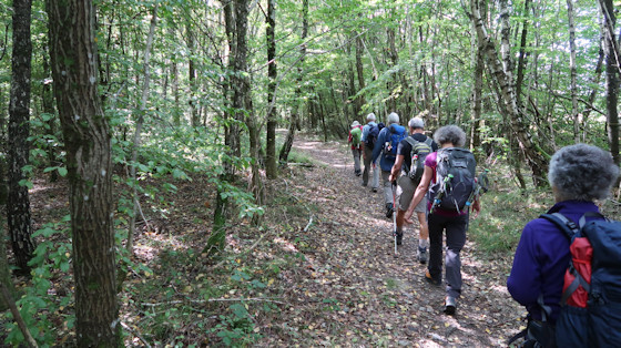
As the trail continues, we march through larger sections of forest ...
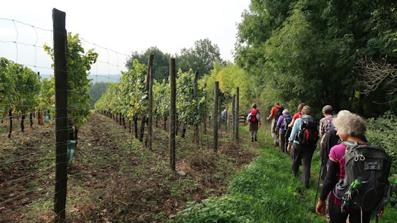
... and along vineyards.
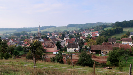
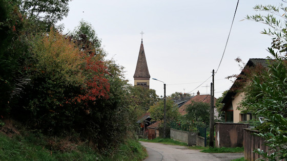
Roderen with the church of Saint Laurentius:
The name comes from the German word "roden" (to clear out), which corresponds to the French expression "essarter".
Like many others, the town suffered many blows of fate over the centuries, due to wars, massacres, famine and plague.
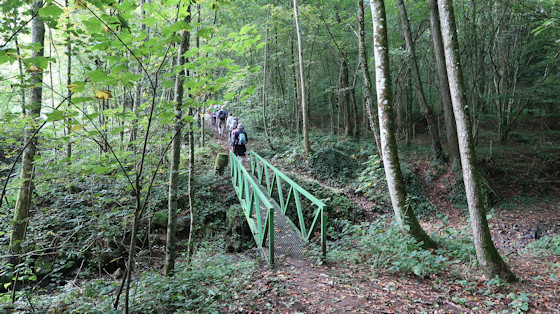
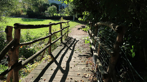
A bridge in the forest

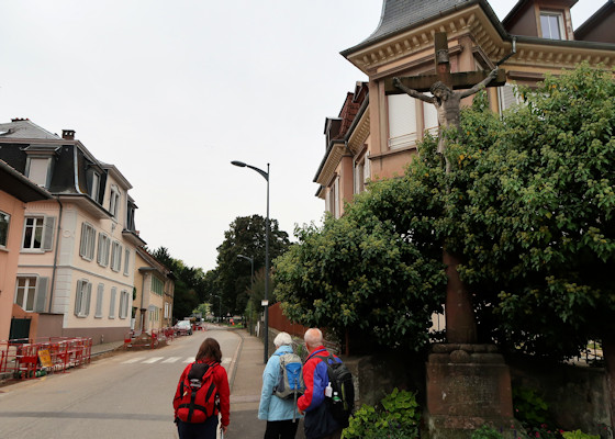
We come out of the forest onto the road leading to Guewenheim and pass this cross.
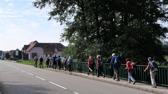
Guewenheim, bridge over the Doller. We walk along the road.
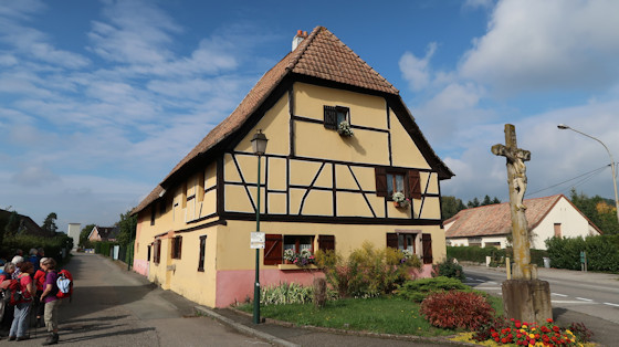
At the wayside cross in Guewenheim, we turn off onto a side road. On the lamppost is the sign for the Way of St. James.
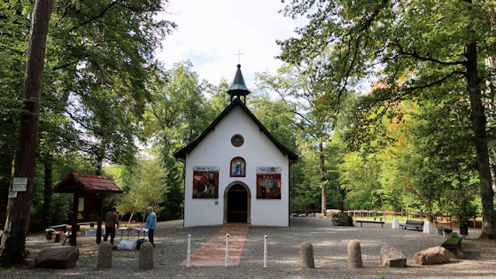
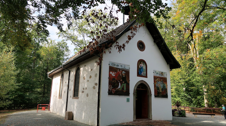
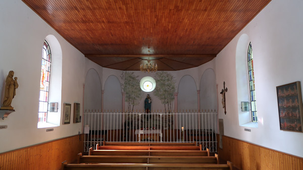
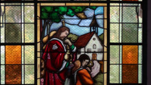
Chapel of Our Lady of the Birches
The chapel is located in the forest south of the village of Guewenheim. It was destroyed during the Thirty Years' War and again in the Revolution and rebuilt between 1866 and 1868. According to legend, a farmer discovered the statue of the Virgin after the Thirty Years' War. This event is depicted in a mural by Fr. Gessier from 1968.

Située dans la forêt de l'Oberwald, au sud du village, la chapelle est détruite pendant la guerre de Trente Ans, puis à la Révolution. Elle est ensuite reconstruite entre 1866 et 1868. Une Vierge a été découverte par un paysan après la guerre de Trente Ans. L'évènement est évoqué par une peinture murale de P.Gessier, datant de 1968.
From the chapel, the path continues through the forest ...

... or along forest edges.

View from the Way of St. James

And again we are in a forest.
Bridge near Bretten

The municipality of Bretten is located in the transition area between the Vosges Mountains and the Burgundian Gate.
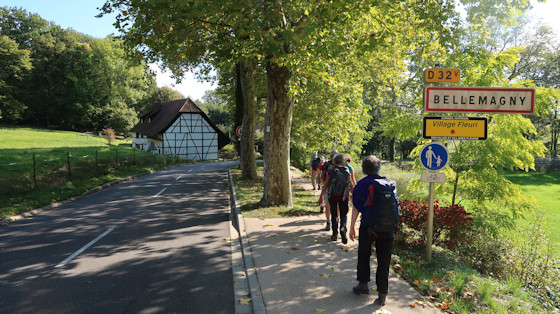
The Alsatian municipality of Baronsweiler/Bellemagny, near the Burgundy Gate, is located in the southwest of the Haut-Rhin département and borders the Territoire de Belfort département. The Rhine-Rhône watershed runs directly west of Bellemagny.
In the Middle Ages, the village belonged to the Austrian dominion of Belfort in the Habsburg foothills, then to the county of Pfirt (Ferrette) in the Sundgau until the signing of the Peace of Westphalia in 1648. From 1871-1918, the municipality belonged to the German Empire. Since the end of World War I, Baronsweiler has once again belonged to France.
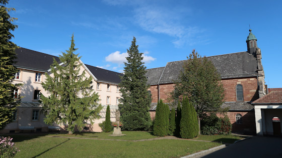
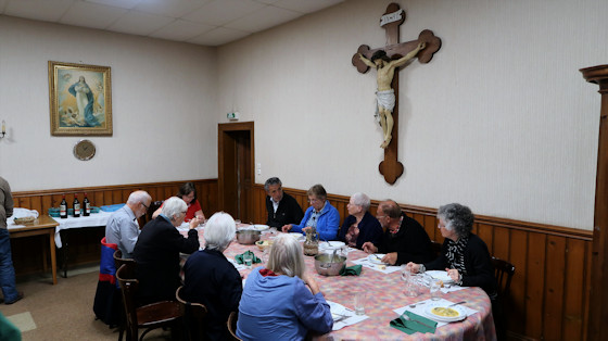
In 1851, the Barr-born priest Joseph Aloyse Faller founded the Order of the Benedictine Sisters of Adoration in Bellemagny. The convent is the motherhouse of the sisters' congregation. The sisters run numerous branches in France, the USA, Switzerland, Germany and Austria. The religious sisters are diaconal in their service to the poorest. They maintain orphanages, schools, boarding schools, homes for the disabled and the elderly.


The Burgundy Gate is the name given to the flat saddle near Belfort, 20 km wide and running in a S-N direction, at an altitude of just under 400 m between the Vosges and the Jura, and at the same time between Alsace and the Free County of Burgundy. The corridor separates the Rhine valley from the Doubs and Saône valleys (Rhine-Rhone watershed). Due to its saddle location, various transport routes converge here; for example, the RN 83, the Rhine-Rhône canal built from 1784, the Paris-Basel railway line, the Autoroute A36 built in the 1970s and the TGV route Rhin-Rhône.
From a historical point of view, the Burgundy Gate is located in the border area of the Germanic kingdoms of the Alamanni and Burgundians, which later became part of the Frankish Empire while maintaining tribal boundaries and linguistic diversity. To this day, the language border between German and French runs here. The Burgundian Gate belongs to the Département Territoire de Belfort in the Free County of Burgundy.

Thann

Bellemagny - Belfort