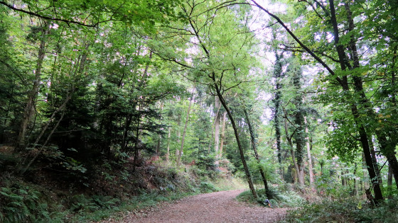
From Guebwiller we marched uphill through the "Rue du Sudel", which soon became a forest path.

At the highest point of our first mountain crossing was this cross.

JNow it's a brisk downhill walk again to Jungholz.
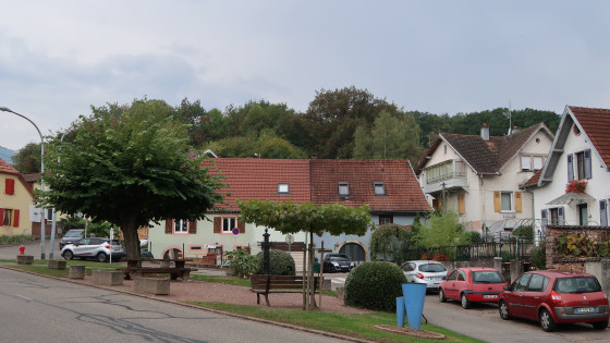
We cross the village of Jungholz ...
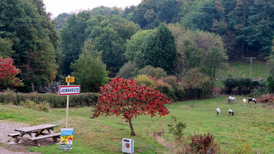
... and march bravely past the rest area.
In the distance you can already see the pilgrimage site of Thierenbach.

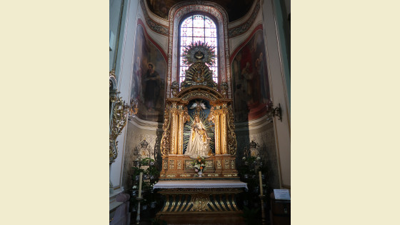
Notre-Dame de Thierenbach
Notre-Dame de Thierenbach is one of the oldest pilgrimage sites in Alsace. According to a report kept in the archives in Colmar, the Marian pilgrimage dates back to the 8th century. The church and monastery, founded by Irish monks from the Benedictine monastery of Murbach, became a Benedictine priory in the 12th century, subject to the abbey of Cluny. Since the French Revolution the monastery no longer exists. Revolution, the monastery no longer exists. The Romanesque monastery church from the 12th century was enlarged in the 14th century. The monastery and church were partially destroyed in the 30 Years' War and rebuilt by the Vorarlberg master builder Peter Thumb in 1717-1723. A new baroque tower was built in 1932.
A miraculous healing was significant for Thierenbach: in 1125, a nobleman of Sulz was cured of a serious illness. In thanksgiving, he gave all his goods to the Mother of God and retired to Cluny to become a monk. Abbot Petrus Venerabilis then established a priory in Thierenbach.
Sculptures of the Romanesque predecessor church are preserved under the entrance to the bell tower. The image of grace, a magnificently carved Pietŕ (around 1350), is venerated
as the "Helper of Christians". From the old furnishings we can still see the Samson pulpit from 1510, the statues of Saints: Benedict, Margaret, Barbara, Catherine from the
beginning of the 16th century, pictures from the life of Mary from the 18th century and above all many votive tablets on the walls.
As with many places of pilgrimage, there is also a legend about Thierenbach, namely about the naming: children are said to have discovered an object while playing by the stream and
exclaimed: "Animal in the stream!", but it was an image of Mary.
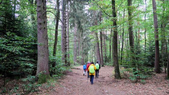
Another long stretch of forest follows. It goes uphill and downhill.
We stop briefly at a pilgrim's stele to be inspired by the beautiful text.
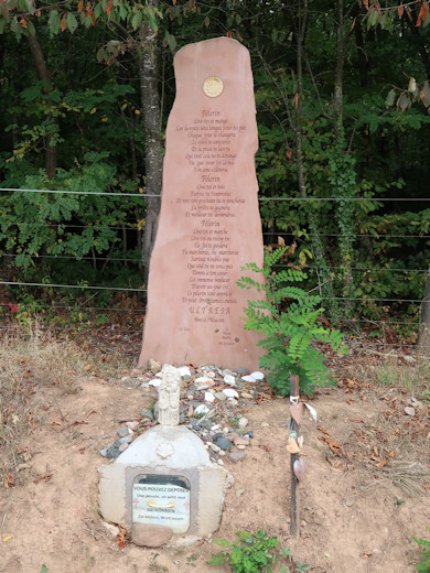
PILGRIM
get up and eat
the way is otherwise too far for you
every day brings you something new
the sun's rays will caress you
and rain will cleanse you
accept it as it is
and remember
that for your soul down here
there is an above
PILGRIM
get up and drink
sometimes you'll get drunk
lose your grip
but praying
you will become a better man
PILGRIM
get up and walk
get up and get up again
your faith is your faithful companion
Go on go on
Above all do not forget
that you did not give yourself
you did not give yourself
one day this pilgrim
this so precious
and probably never forgotten pilgrim.
Ultreďa
Marcel l'Alsacien (Marcel the Alsatian)
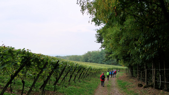
The trail continues along the edge of the forest and along vineyards.
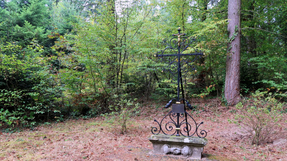
At our lunch stop we find this cross.

The cross comes from the cemetery of the Hartmannswill fortress and is dedicated to all pilgrims of the N.D. de Thierenbach and St. James of Compostela. H.H.H. August 2006
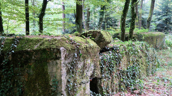
Bunker from the First World War
On the way through the forest near Wattwiller, you pass a series of concrete bunkers that are silent witnesses to the tragic events of the First World War. Here you circle the Hartmannsweilerkopf, where 30,000 soldiers of both nations, France and Germany, fell within a few weeks. The number of wounded is estimated to be three to four times that number.
The 957 m high Hartmannsweilerkopf dominates the exit of the Burgundian Gate into the Upper Rhine Valley due to its strategically important location. It became the most contested mountain on the Western Front during WW1. The battle for the summit began on 31 December 1914 and lasted until the end of 1915. In the 4 years of war until 1918, the hilltop changed hands 4 times. From about the middle of 1916, both sides reduced their troops; essentially only artillery duels took place. Both sides, "bunkered" in the redoubt trenches, confined themselves to holding their lines.
Today, only the many memorial stones on the heights and the military cemeteries, where the dead of both nations rest, remind us of that murderous struggle with its bloody battles.
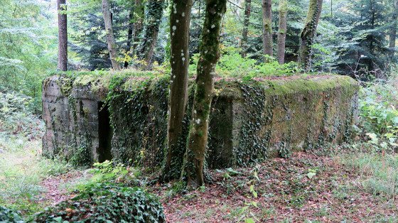
Another bunker
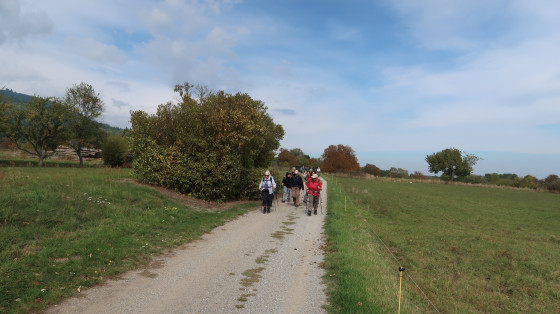
We leave the forest and walk towards Wattwiller.
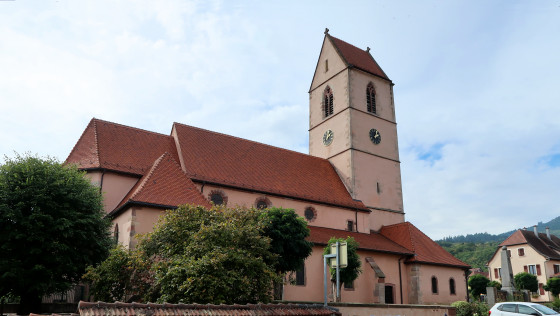
We pass the church of Wattwiller.

The route leads through vineyards to Uffholtz.
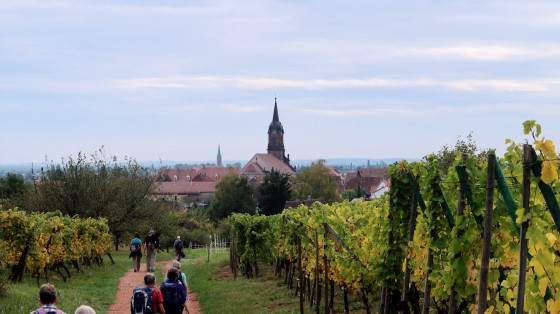
In the background we see the church of Cernay. However, we only pass through the town on the outskirts
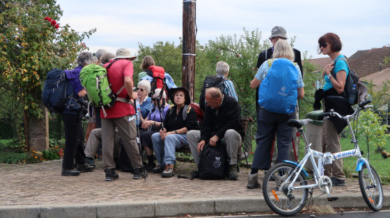
Break in Cernay
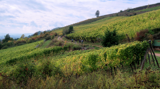
The route continues through forests and vineyards towards Thann.

Chapel of St. Urban in the vineyard outside Thann.
The Rangen is the southernmost vineyard in Alsace. Since 1983, the Rangen has had its own appellation as Alsace Grand Cru, making it one of the 51 potentially best sites in Alsace. A total of 18.81 hectares of vines have been approved.
On an asphalt road (Rue du Vignoble), you walk along the river Thur until you reach the bridge that leads to Rue des Pčlerins and the town.
See next page: Thann


