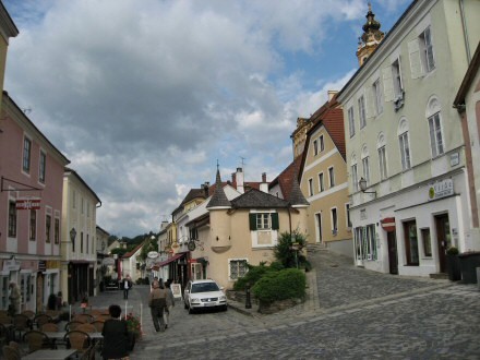
The section Göttweig - Melk was wonderfully marked until Melk. At the abbey the marking stops and a section "no man's land" of the Way of St. James begins. After visiting the monastery, we go downhill right from the entrance and immediately turn right into the monastery path, which leads down stairs to the town hall square.
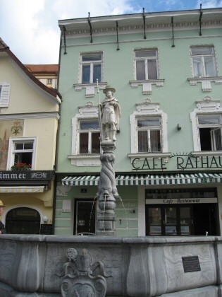
At the town hall square there is this Koloman fountain.
Also on the town hall square is this house of a beakery equipped with two towers.
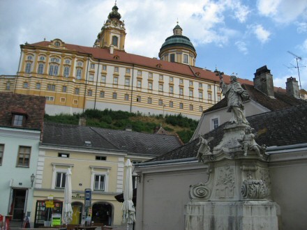
St. Nepomuk at the main square of Melk
From the (St. Leopold) bridge over the Danube arm we take a look back at the monastery.
We walk straight ahead from the bridge through a forest and then along the Danube to the hydroelectric power plant. To get to the dam, you have to follow the cycle path far to the left. We cross the Danube and take a look at the castle ruin Weitenegg.

Around 1180 Count Eckbert von Pernegg and later the Lengenbach family can be traced as the owners of the castle. After their extinction in the 13th century the Babenbergs and the Kuenringers followed.
The so-called Palas and the two keep built in a late Romanesque extension phase have been preserved from the high medieval castle.
From the second half of the 13th century the castle had various owners and was conquered twice.
The medieval castle was fortified from the 16th century onwards and, thanks to its good structural condition and rocky location, was able to withstand the siege by Swedish troops in 1645. In its final phase of construction, the castle, which was designed like a palace, can be recognized on the engraving by Georg Matthäus Vischer. At the end of the 17th century Weitenegg was abandoned as a residence and began to fall into disrepair. In 1832 parts of the building on the Danube side collapsed, and around 1870 the medieval east tower was removed to extract building material.
Since 1983 it has been in private ownership.
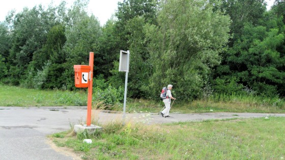
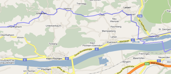
On the left bank of the Danube we walk along the Danube cycle path towards the cyclists. You can go on endlessly. But beware! At this telephone - just after the lock area - turn right by more than 90°. Here a signpost for the way of St. James would have been very helpful for us. After all, we walked on for a long, long time without turning off and had to walk back.
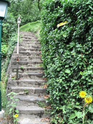
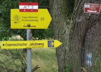
At Urfahr we cross the Wachaustrasse and meet the first signpost of the way of St. James. This is obviously the beginning of the southern Waldviertel section, which from now on is excellently marked. We cross the railway in a somewhat adventurous way and climb up stairs. Pay attention to the yellow sign!
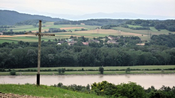
Soon after the first steep climb we have reached the height with the gallows cross and look back on the Danube.
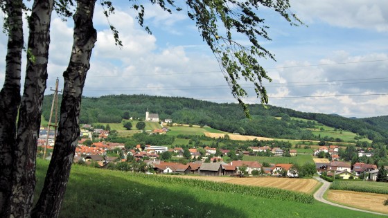
As soon as the village Leiben comes into sight, we have climbed the height and it goes downhill again and through the village.
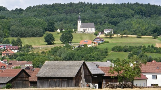
In the distance the church of Leiben. It is dedicated to St. Corona. The Way of St. James does not pass it.
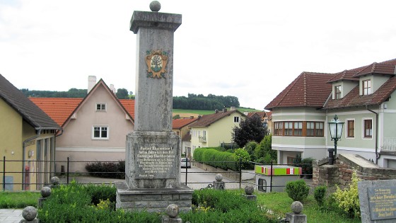
The Leibner are certainly proud of this pillar.

Emperor Maximilian I raised the village of Leiben to a market in 1513. To commemorate 475 years of market rights in Leiben the Verschönerungsverein (Beautification Association) rebuilt this monument in August 1988.
The first marriage of emperor Maximilian, the last knight, was to Mary of Burgundy. His father Emperor Frederick III is buried in St. Stephen's Cathedral in Vienna, he himself in Wiener Neustadt. His famous large tomb in the Hofkirche in Innsbruck with numerous bronze figures, the Schwarzmander, is empty.
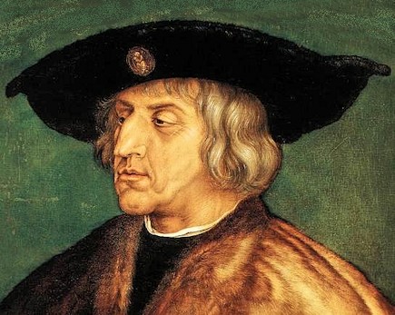
Click for larger Maximilian picture of A. Dürer
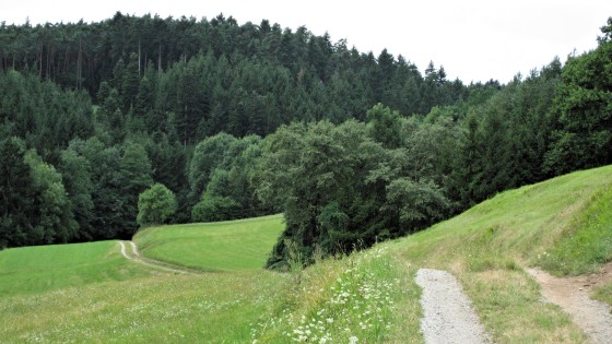
After Losau, the road leads into a forest. The places described in the Lindenthal guide with "caution" are no problem because of the new signs.
Near Hasling we pass this farm with a wayside shrine "God's blessing on all paths".
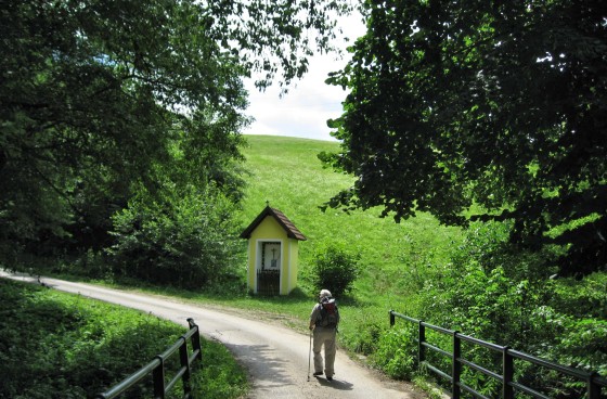
From Hasling the path (asphalt) leads down into the Krottental, which we cross on this bridge with wayside shrine.
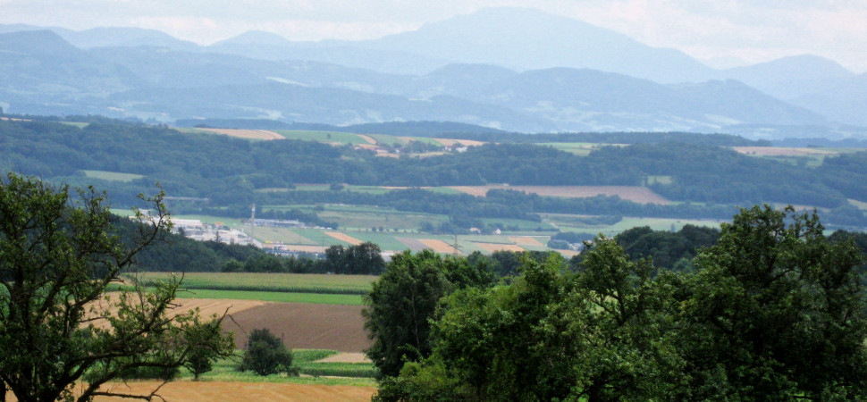
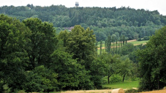
We take a break on a bench just before Artstetten and enjoy the view of the Danube valley and to the mountain Ötscher, which is always present in the background.

Super zoom to the Ötscher

In Artstetten we walk on a road called "Am Jakobsweg". Here at house number 14 we find this encouragement.
The way is the goal
At the pillory square in Artstetten there is a fountain with fresh water.
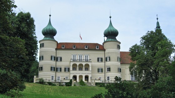
We hike further west below the castle.
More about the castle Artstetten and the heir to the throne.
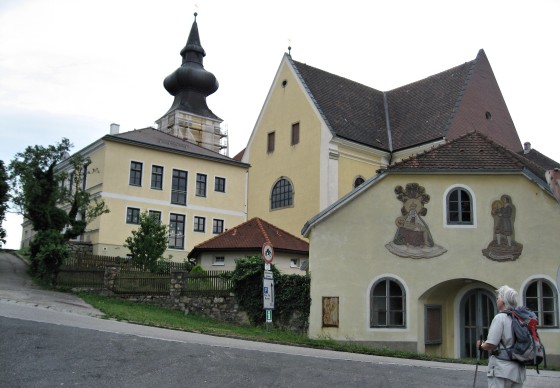
Now the route goes downhill on beautiful paths. This does not bode well, as Maria Taferl is lying on a mountain.
All paths lead to Maria Taferl!
The stage goal has been reached!

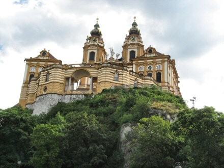
Melk

Maria Taferl