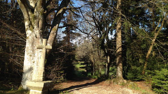
Soon after Montfaucon we come to this stone cross.
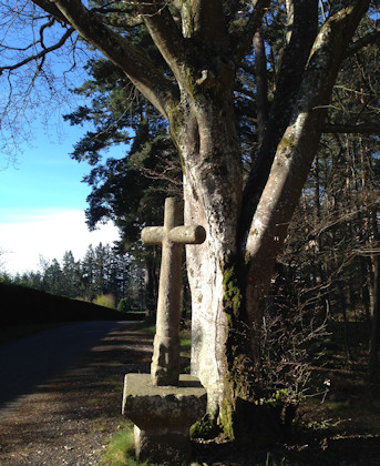
The cross from a different perspective (stands out better from the tree)
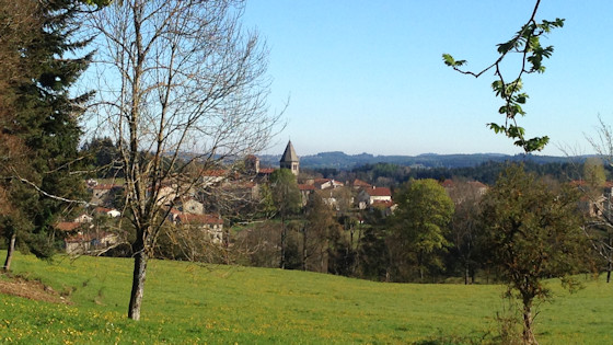
Église de Raucoules
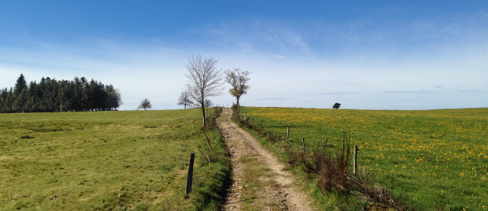
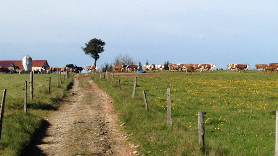
Cows, although coming from the left, have priority here.

Shady path at the edge of the forest
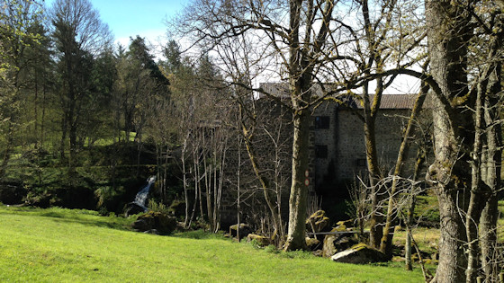
An old mill
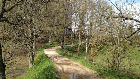
uphill and downhill
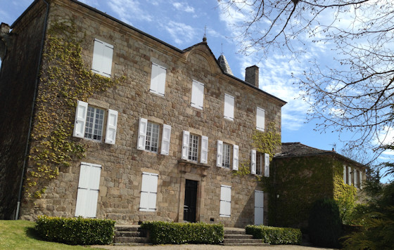
The castle of La Brosse
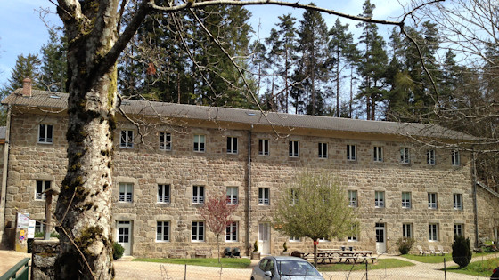
In Tence there was once a paper mill (papeterie). It had almost 200 workers at the beginning of the 20th century. In 1926 it closed down its business. In 1939 the Prefect Maurice Belliard requisitioned the buildings to house republican refugees fleeing from the Franquists after they lost the Spanish Civil War. After a few months they were distributed to other camps. After the armistice in June 1940, which followed the German invasion of France, the Vichy regime, now in place, had all the "Reichsdeutschen" (defined according to Nazi diction, i.e. including Sudeten Germans and Austrians) interned and assigned the task of housing them as prisoners to the prefects. In these camps, Nazis who had been in France for professional reasons, for example, and actual refugees, i.e. Jews and other Nazi persecutees, were initially forced to sit together until the Kundt-Commission ensured separation.
On 25 October 1940 the camp was de jure dissolved. Most of the inhabitants were sent to Gurs until November, from where, if they were Jews, they were later sent to German extermination camps.

On the river Lignon, which had served to supply water to the old paper mill, a large memorial stone was erected in 2005. A smaller stone directly next to it commemorates the fate of the short-term camp residents in the internment camps of 1939 and 1940.

A first view of the little town of Tence


A monumental statue of the Virgin Mary stands in front of the church of St. Martin.
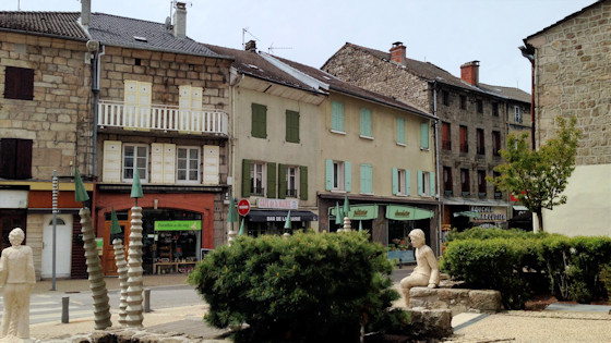
Here in front of the town hall of Tence we had our lunch break on a bench. We look at the square in front of the town hall.
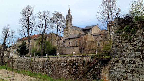
The city of Tence was originally founded by the Romans, who also built the first city walls.
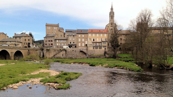
Tence at the river Lignon
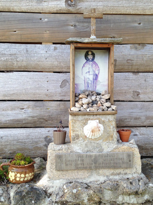
On the way near Pouzol we find this little James.

In the distance a former volcanic cone
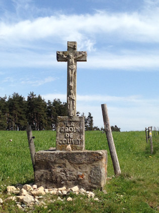
Just before Saint-Jeures: La Croix de Couvet
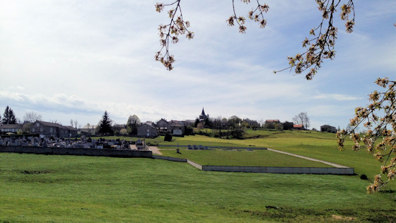
Welcome, dear hikers and pilgrims!
In front of you lies Saint-Jeures, which is only 37 km from the centre of Le Puy-en-Velay via the GR56. After Santiago di Compostela there are still about 1600 km to go. Saint-Jeures is the capital of a 34.14 km2 large municipality with numerous hamlets and about 900 inhabitants. The village is situated 1040 m above sea level. Numerous hiking trails cross here. To the left of the village you can see the Pic of the 1388 m high Lizieux. Coming from the east, it is the first of the former volcanoes of the Velay region. The traditional building culture of Saint-Jeures shows harmoniously robust granite walls and roofs made of klingstein slabs. The church is a good example of this.
Source: Welcome board
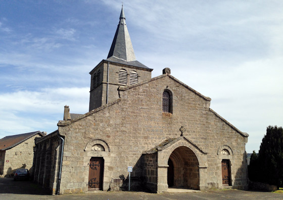
Église Saint-Georges de Saint-Jeures
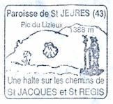
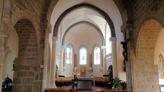


Inside the church we are happy to meet old friends!
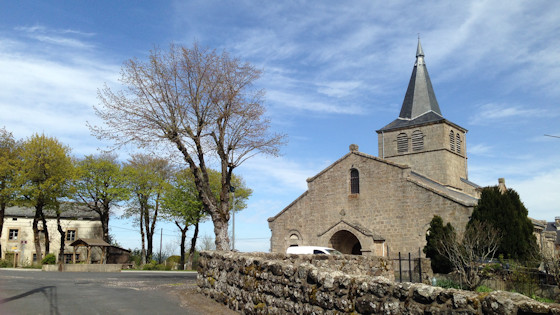
The church from a different perspective
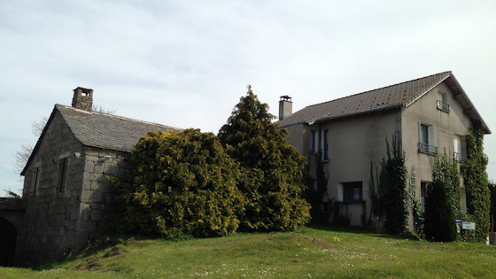
Gîte d'etape L'Hirondelle, pl. du Monument.
Here we were in very good hands and had an excellent meal.
Photos: Gerhard Eichinger

