The stage leads over the Etzel Pass to the pilgrimage site Maria Einsiedeln.
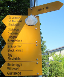
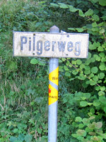
The ascent to the pass takes place in three stages. In Lachen (410m) - soon after this signpost adorned with the scallop shell - the first ascent to St. James' Chapel begins. (415 - 504m)
The second ascent is from Schlipf to Bilsten (514- 698m). The third one from Schwändi (694m) via Oberschwändi (750m), Bannwald, Meinradsbrunnen (820m) to the top of the pass to St. Meinrad (950m). Then the path leads over the Tüfelsbrugg (838m) to Einsiedeln (906m).
From Lachen to Einsiedeln the pure hiking time is about 4.5 hours.
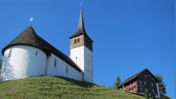
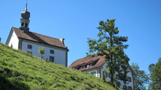
Above Lachen, at the end of a narrow hill, stands the chapel of St. John. It dates from the middle of the 15th century.
Today the chapel is very popular for weddings.
It is famous for its Gothic altars, which I have described on a separate page.

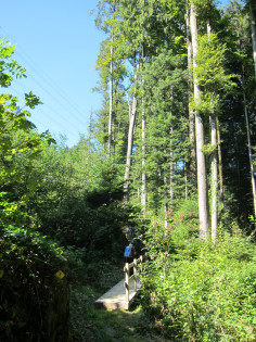
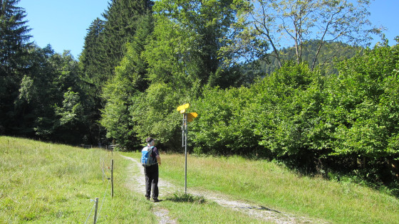
Shortly after the chapel on the way to St. Johannsburg.

It goes briskly and almost level. Here we are in Schlipf and ...
... the pilgrims march through this gate with scallops.

Second ascent: partly on the road, but mainly in the forest, it goes uphill to Bilsten.
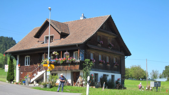
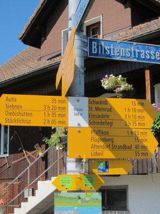
Bilsten, click on the signpost!
![]()
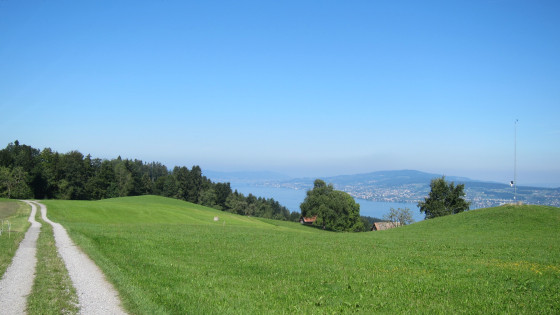
Now it goes evenly with a magnificent view of Lake Zurich.
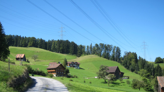
From Schwändi the third ascent leads up into the Etzelwald to St. Meinrad.
The road is called:
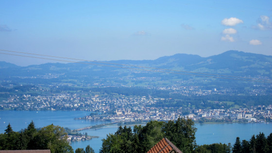
View over Rapperswil
The Way of St. James, which comes from Rapperswil - Pfäffikon, enters here.
St. Meinrad on the Etzel Pass -
Time for lunch break
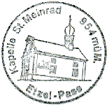
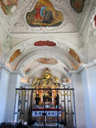
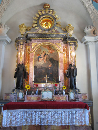
In the Meinrad Chapel
From the Etzelpass the road goes downhill (20% gradient) to Tüfelsbrugg.
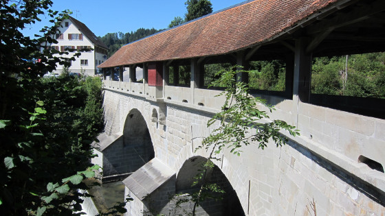
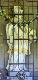

Tüfelsbrugg (devils bridge) with Nepomuk
First construction of a wooden bridge in 1117 under Abbot Gero of Frohburg
1517 construction of a stone bridge
In the 17th century complete new construction with roofing
1794 reinforcement of the existing structure and installation of the chapel niche with the statue of St. Nepomuk.
Various restorations between 1833 and 1992.
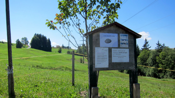

Soon after Tüfelsbrugg, a sign informs the pilgrim about an alternative path with less asphalt that leads to the monastery via the lido in Einsiedeln.

Click on the left note on the panel!
This time we decided to take the alternative route.
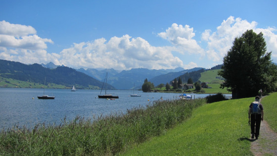
The Sihlsee is reached.
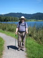
Pilgrim at the Sihlsee
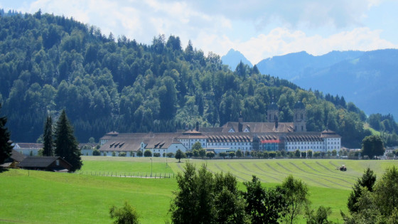
The stage destination Einsiedeln comes into sight

previous stage
Appenzell Way

Einsiedeln