From St. Gallen Cathedral, the path leads for a long time through the city and its suburbs.
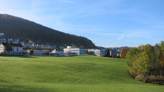
Finally, landscape in the form of a meadow could be seen again.
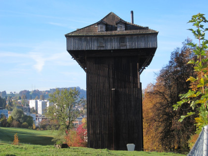
The Tröcneturm (drying tower) in Schönenwegen is a striking building from the heyday of the textile industry in St. Gallen. It was a well thought-out construction, heatable on the inside, so that lengths of fabric could be drawn up and dried either outside or inside, depending on the weather.
The "Stiftung Tröckneturm‟ has renovated this industrial building and set up a documentation centre in it on the history of the city of St. Gallen and the history of the most important branches of the St. Gallen textile industry.
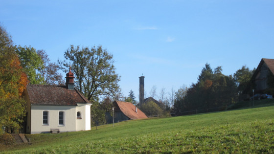
Only a few steps after the Tröcneturm is the Maria Einsiedeln Chapel. It dates from the year 1770.
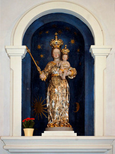
The statue on the altar is still preserved from the original furnishings of 1770. It is a copy of the Einsiedeln image of grace with a height of 117 centimetres. Like the original, the Christ child holds the dove in his left hand, but the flesh parts are not blackened. The statue also does not wear a robe.
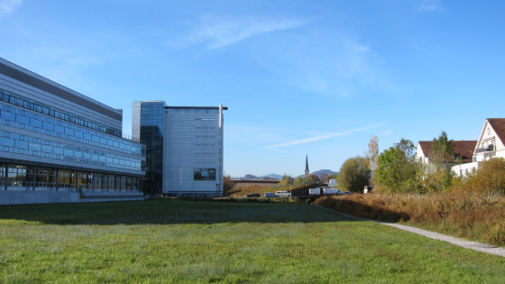
The path leads past the EMPA site and on to Bruggen. You can already see the tall, slender tower of the Reformed Church.
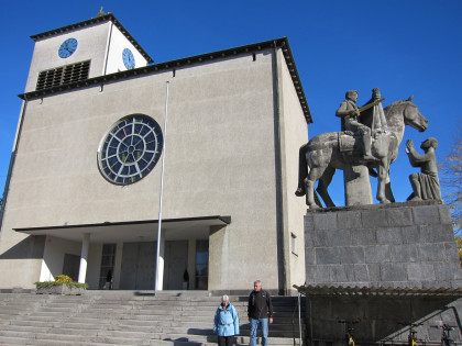
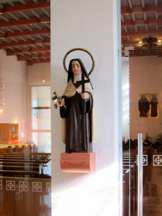
In the modern Catholic Church of St Martin in Bruggen, I noticed this beautiful statue of Thérèse of Lisieux. We meet the saint a hundred times along the Way of St James in France.
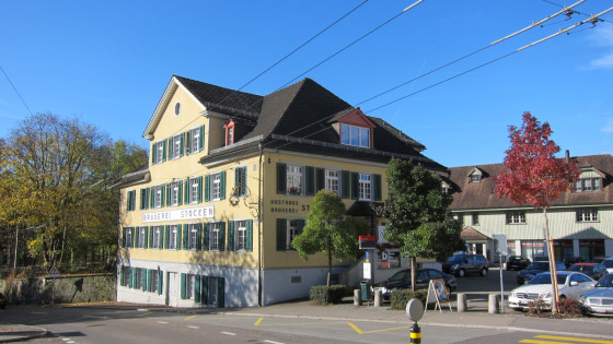
Stocken Brewery with a guest garden directly on the path. We bravely walked past.
The path goes downhill to the bridge over the Sitter.
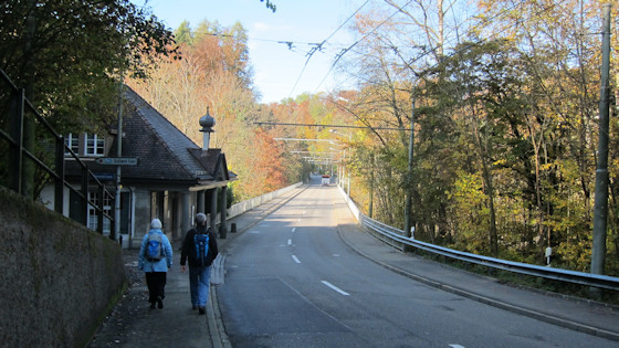
Bridge over the river Sitter
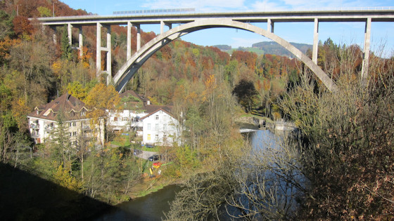
View from the bridge onto the bridge of the motorway and the tranquil life along the river.
After the bridge, the trail leads uphill, first along the road, then across a meadow (and through a construction site) to Gübsensee.
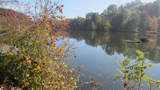
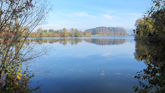
The lake, which is just over 1100 metres long and 200 metres wide, is bounded to the west and partly to the north by artificial earth walls,
and to the east by the wall. Because of its elevated position above the valley, the lake has no larger natural tributaries.
The water, which is collected further south by the Urnäsch and the Sitter, is channelled into the lake through two tunnels.
On the The St. Gallen - Herisau (-Wattwil) railway line runs along the southern flank of the lake. Gübsensee
station.
Thanks to its location close to the city, the lake is a popular recreational area. Around the lake runs a much frequented walking path, which is also used by many joggers because it has no inclines. Swimming is also tolerated in the back part of the lake. We found a lovely resting place on the western shore by the footpath = Jakobsweg.
From the Gübsensee, the trail first goes uphill through a forest to Herisau. The
path follows the route of the Appenzellerbahn (Appenzell railway) used until 1913.
Herisau-Winkeln. The Alter Zoll
restaurant on the trail marks the cantonal border.
Herisau
was first mentioned in 837. The area belonged to the monastery of Sankt. Gall. Between the 11th and 13th centuries, three castles (Urstein, Rosenberg and Rosenburg) were built in the area around Herisau by the lords of Rorschach (Rosenberg). Only ruins of these three fortresses still exist today. The former Rosenburg above the district of Ramsen is now called the Ramsenburg Ruin, and its remains were restored in 1937.
During the Appenzell Wars, the village seceded from St. Gallen in 1433. During the Reformation, Herisau was reformed and therefore became part of Appenzell Ausserrhoden as part of the division of the land. The main town was initially Trogen. Herisau did not receive parts of this function until 1877. (Quelle: Wikipedia)
pictures of Herisau
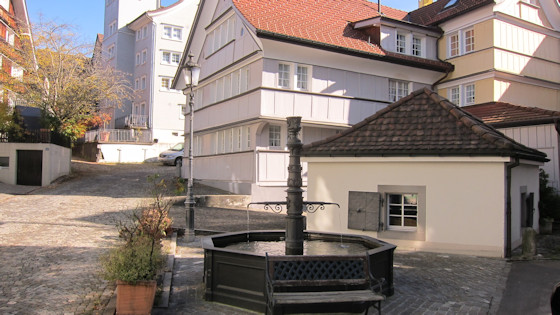
The following is reported about this well in front of one of Herisau's oldest guests:
No Einsiedeln pilgrim went to forbas without having refreshed himself at the lower well
.


