In Sankt Peterzell, the Way of St. James continues just behind the Schäfle Inn. We cross the Necker River and the ascent to Hofstetten begins.
First we notice the house to the "Bädli".
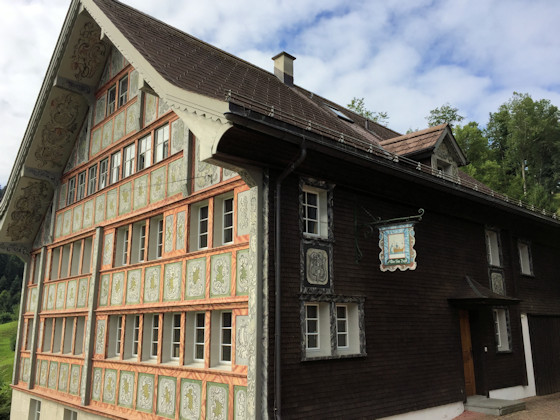
The house was built at the turn of the 17th and 18th centuries. It contained a bath, which was said to have special healing properties. The facade was beautifully painted in rococo style.
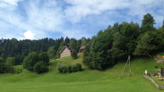
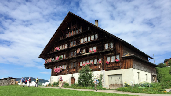
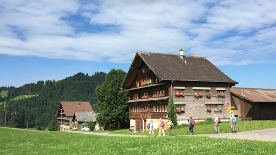
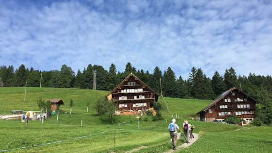
The meadow path continues steeply uphill to the large houses of Hofstetten.
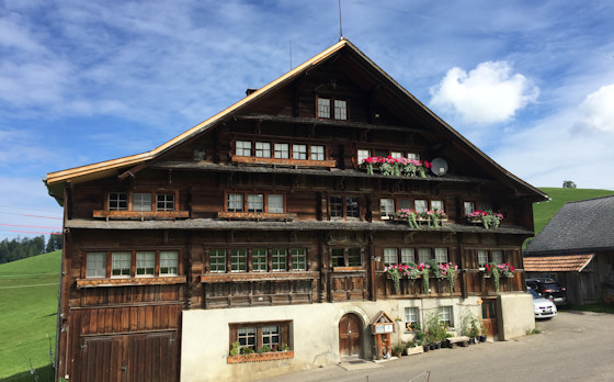
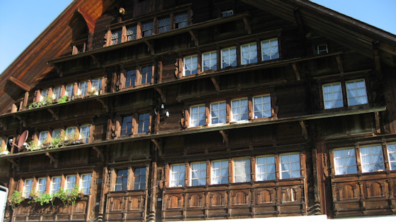
Hofstetten is not only an idyllically situated hamlet, but also contains one of the most significant farmhouse units in Toggenburg. The first and the last building of the group of three along the path are buildings of a Bregenzerwald carpenter and dated in gable inscriptions (1684). The middle house, marked in the same way, was built by the Herisau master carpenter Ulrich Zohner in 1622. The two younger buildings are so-called "double houses" with symmetrical house facades, in which a central passage from the front divides the building into two halves up to under the ridge and only allows access to the common ridge chamber through a cross passage.
In earlier times, pilgrims were probably housed here.


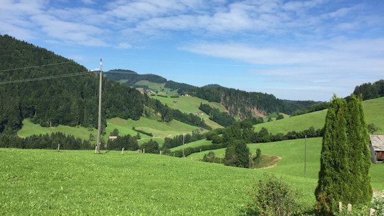
View from Hofstetten to the north
From Hofstetten, the trail first leads downhill for about 100 m, because we have to cross the Schlifentobel.
As we climb again, we reach the hamlet of Niederwil.
From here we hike in a westerly direction over pasture land and through a short stretch of forest until just before Heiterswil.
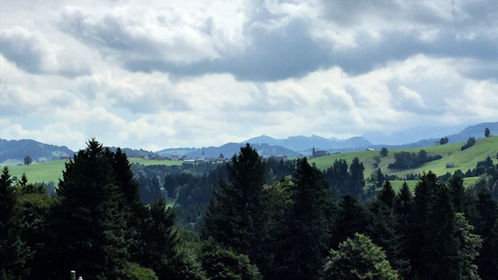
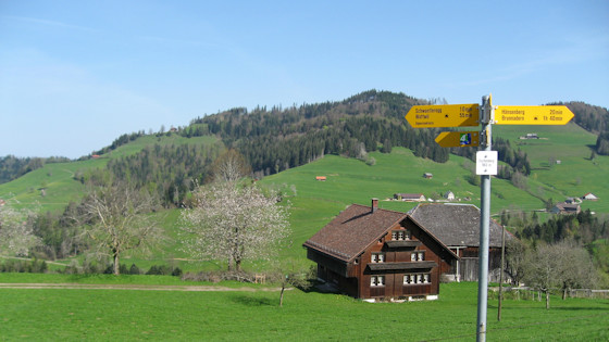
A view back to Hemberg with its two churches.
With the plus button you can zoom in on Hemberg.
![]()
![]()

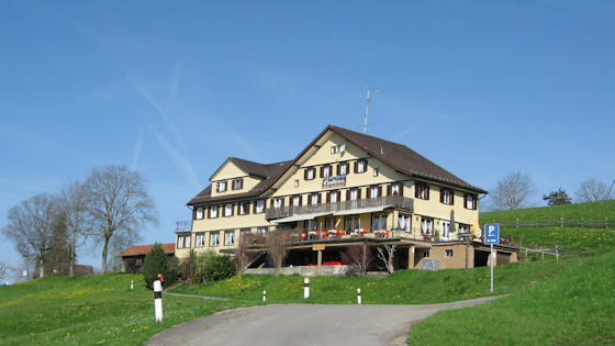
Before Heiterswil, we turn sharp right and climb up to the mountain road and on to the Scherrer viewpoint with the Churfirsten inn.
The original art nouveau hotel "Churfirsten" burned down in 1939 and was rebuilt.
This picture was taken in July 2017.
This is how it looked here in May 2008, on my way from Rankweil via Appenzell to Rapperswil.
Note the bushes, which have grown a lot since 2008.
From here at 990 m you have a fantastic panoramic view. In the background the still snow-covered 'Speer' (May 2008). With 1'956 m it is Europe's highest Nagelfluh mountain.
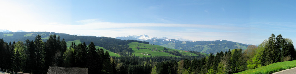
Panoramic view
After the Scherrer viewpoint, the trail goes downhill.
Always further downhill, here over the hamlet of Eschenberg

Mostly we hike along meadow paths.
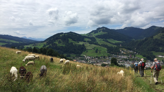
The sheep do not let themselves be disturbedi. In the background you can already see Wattwil.
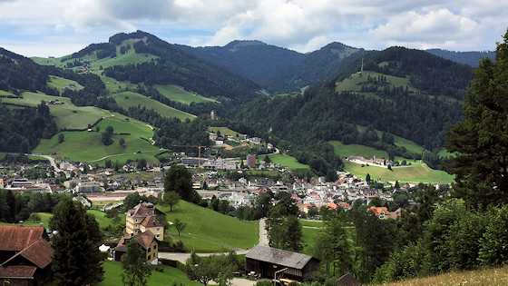
Wattwil is getting closer. On the other side of the valley we see the ruins of Iberg Castle. The next stage of the Way of St. James passes by there.
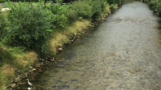
We are in Wattwil and cross the Thur. Do you discover the great egret?
|
|
Appenzell Way |

on to Neuhaus |

previous stage: Rorschach Way |
